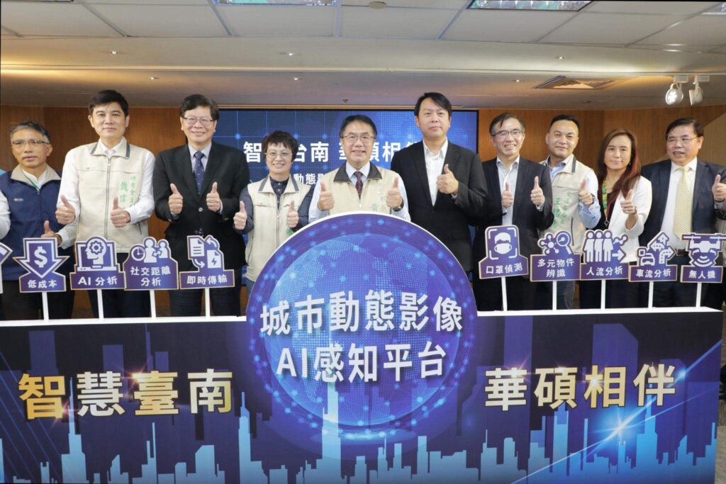
The Tainan City Government held a press conference today (10th) to launch the city's dynamic image AI perception platform. Tainan Mayor Huang Wei-che led the city government team and ASUS Group to carry out the launch ceremony. Tainan City will have multi-target AI analysis capabilities. In the future, combined with drone 5G real-time image transmission, it can be applied to a variety of municipal management scenarios, providing strong support for urban governance.
Huang Wei-che stated that the governance of a smart city is crucial. Utilizing AI technology can quickly complete many tasks and make epidemic prevention more efficient. In 2015, Tainan experienced a dengue fever outbreak, causing a significant urban public health crisis. If AI technology could be used, it would be possible to immediately identify the density of insect eggs and the types of mosquito larvae, etc., saving time and effort compared to manual methods. From agricultural disaster damage to traffic accident assessment, the wide range of AI applications greatly contributes to building a smart city. He thanked ASUS for providing Tainan, an ancient city, with an innovative solution, enabling Tainan to move towards a win-win situation and provide more and better services to its citizens.
The "Urban Dynamic Image AI Perception Platform" developed this time combines a hybrid cloud architecture with the resources of Taiwan AI Cloud (TWCC). Its biggest advantage is its application flexibility. It can meet the different business needs of the city government and expand the recognition model through machine learning to increase the platform's ability to perceive objects in images. This is an important step in the development of general-purpose AI. At the same time, it can also be combined with remote-controlled drones and 5G for real-time image transmission, helping business units to quickly verify the feasibility of AI application ideas and enter a cycle of rapid iteration and optimization, laying the foundation for the development of EdgeAI.
The Research, Development and Evaluation Commission stated that acquiring more urban information is the first step in implementing data governance. This platform has the opportunity to allow the city government to have more groundbreaking ideas about the city through images, thereby improving the efficiency of urban governance. It also provides more opportunities for cooperation with various departments, academic research units, and startup industries, fulfilling Mayor Huang's expectation of "transforming the ancient city with technology." The biggest highlight of this plan is lowering the barriers for various units to introduce AI applications. Whether it is technology, time, or implementation costs, they can be significantly reduced, allowing more applications to be combined with AI.

This project establishes three basic AI models for application demonstration, including traffic flow recognition and analysis at various intersections, pedestrian flow recognition and analysis at tourist attractions, and applications related to COVID-19 prevention and control. The first two models combine image acquisition with drone aerial photography. In the traffic flow recognition and analysis at various intersections, four intersections were selected: the intersection of Anhe Road Section 1 and Zhonghua Road, the intersection of Xingangshe Avenue and Fuqiang Road, the intersection of Expressway 86 and Guanxin Road Section 1, and the intersection of Expressway 86 Datan Interchange connecting to Zhongzheng South Road Section 2 southbound. The analysis focuses on traffic flow, vehicle type, and vehicle speed. The currently established demonstration model has been verified to have a recognition accuracy of up to 98%, which can assist in obtaining relevant data at intersections without surveillance cameras.
In the analysis of crowd flow at tourist attractions, two sites were selected as verification sites: the Zhengtong Luermen Mazu Temple in Annan District and the Lin Mo Niang Park in Anping District. The current accuracy rate is over 95%, which will make it easier for business units to grasp the crowd situation of major events in the future.
In response to the COVID-19 pandemic, this project is collaborating with the Municipal An-Nan Hospital and the famous tourist attraction Anping Fort to conduct a trial. The project uses real-time streaming of IP CAM images to detect whether people are wearing masks correctly and maintaining social distancing. The detection results can be used to further remind people to take precautions against the pandemic in a flexible manner.
The above three application demonstrations demonstrate the flexibility of the platform's AI analysis applications. Combined with the platform's integrated high-speed computing resources, expandable and optimizable models, and diverse image sources, it can help business units face increasingly complex urban governance issues, while also making Tainan City a leader in AI smart cities.